


Home
Norfolk Coast Path & Peddars Way: British Walking Guide: 77 Large-Scale Walking Maps (1:20,000) & Guides to 45 Towns & Villages - Planning, Places to Stay, Places to Eat
Barnes and Noble
Loading Inventory...
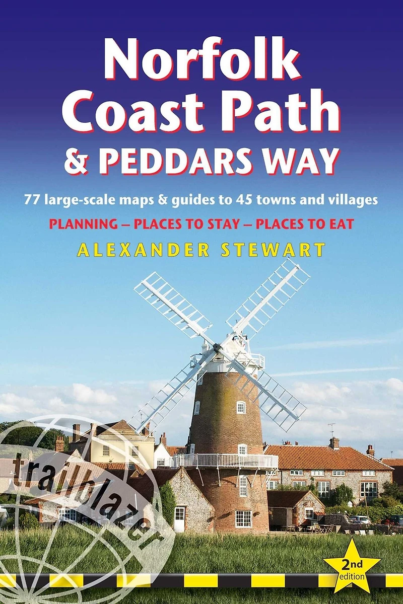
Norfolk Coast Path & Peddars Way: British Walking Guide: 77 Large-Scale Walking Maps (1:20,000) & Guides to 45 Towns & Villages - Planning, Places to Stay, Places to Eat in Bloomington, MN
By Barnes & Noble
Current price: $19.95

Norfolk Coast Path & Peddars Way: British Walking Guide: 77 Large-Scale Walking Maps (1:20,000) & Guides to 45 Towns & Villages - Planning, Places to Stay, Places to Eat in Bloomington, MN
Current price: $19.95
Loading Inventory...
Size: Paperback
The Peddars Way runs through East Anglia from Knettishall Heath on the Norfolk/Suffolk border and follows a Roman road to Holme-next-the-Sea. From here it becomes the Norfolk Coast Path, hugging the beautiful Norfolk coastline through Holkham, Wells, Blakeney and Cley to Cromer before it rounds the shoulder of the county and continues along the superb beaches and crumbling cliffs to Mundesley, Sea Palling and Great Yarmouth, finishing just before the Suffolk border. Covering 130 miles of walking, this guide includes the 40-mile extension of the National Trail from Cromer to Hopton-on-Sea.
The Peddars Way runs through East Anglia from Knettishall Heath on the Norfolk/Suffolk border and follows a Roman road to Holme-next-the-Sea. From here it becomes the Norfolk Coast Path, hugging the beautiful Norfolk coastline through Holkham, Wells, Blakeney and Cley to Cromer before it rounds the shoulder of the county and continues along the superb beaches and crumbling cliffs to Mundesley, Sea Palling and Great Yarmouth, finishing just before the Suffolk border. Covering 130 miles of walking, this guide includes the 40-mile extension of the National Trail from Cromer to Hopton-on-Sea.
Shop Similar Products












Find at Mall of America® in Bloomington, MN
Visit at Mall of America® in Bloomington, MN