


Home
Mission-Critical Mapping: GIS for Defense and Intelligence
Barnes and Noble
Loading Inventory...

Mission-Critical Mapping: GIS for Defense and Intelligence in Bloomington, MN
By Barnes & Noble
Current price: $23.99

Mission-Critical Mapping: GIS for Defense and Intelligence in Bloomington, MN
Current price: $23.99
Loading Inventory...
Size: EBook
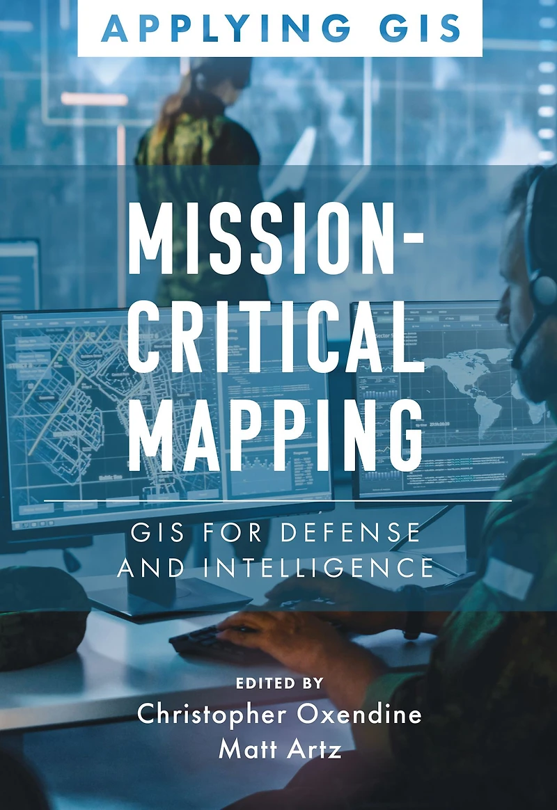
Discover a geographic approach to defense and intelligence.MissionCritical Mapping: GIS for Defense and Intelligence explores a collection of reallife stories about defense and intelligence organizations successfully using GIS to manage their highstakes work.Defense organizations use ArcGIS to enable joint alldomain operations and provide data integration, analytics, and a decision support framework for all defense functions. GIS infrastructure allows data to flow seamlessly from headquarters to the tactical edge. This data integration, analytics, and decision support framework supports the following in a dynamic information environment: Joint alldomain operations Data analysis and visualization Knowledge management Improved decisionmaking MissionCritical Mapping: GIS for Defense and Intelligence shares examples of organizations effectively using GIS to improve defense operations and readiness, intelligence collection and collaboration, and humanitarian assistance. The book also includes a section on next steps that provides ideas, strategies, tools, and actions to help jumpstart your own use of GIS for defense and intelligence applications. A collection of online resources, including additional stories, videos, new ideas and concepts, and downloadable tools and content, complements this book.
Discover a geographic approach to defense and intelligence.MissionCritical Mapping: GIS for Defense and Intelligence explores a collection of reallife stories about defense and intelligence organizations successfully using GIS to manage their highstakes work.Defense organizations use ArcGIS to enable joint alldomain operations and provide data integration, analytics, and a decision support framework for all defense functions. GIS infrastructure allows data to flow seamlessly from headquarters to the tactical edge. This data integration, analytics, and decision support framework supports the following in a dynamic information environment: Joint alldomain operations Data analysis and visualization Knowledge management Improved decisionmaking MissionCritical Mapping: GIS for Defense and Intelligence shares examples of organizations effectively using GIS to improve defense operations and readiness, intelligence collection and collaboration, and humanitarian assistance. The book also includes a section on next steps that provides ideas, strategies, tools, and actions to help jumpstart your own use of GIS for defense and intelligence applications. A collection of online resources, including additional stories, videos, new ideas and concepts, and downloadable tools and content, complements this book.
Shop Similar Products

















Find at Mall of America® in Bloomington, MN
Visit at Mall of America® in Bloomington, MN