Home
European Railway Map - Includes detailed Atlas for Switzerland, Austria, French Alps and Northern Italy: Designed for Eurail/Interrail Global Rail Pass - Illustrated with location Icons and Info
Barnes and Noble
Loading Inventory...
European Railway Map - Includes detailed Atlas for Switzerland, Austria, French Alps and Northern Italy: Designed for Eurail/Interrail Global Rail Pass - Illustrated with location Icons and Info in Bloomington, MN
Current price: $22.00

European Railway Map - Includes detailed Atlas for Switzerland, Austria, French Alps and Northern Italy: Designed for Eurail/Interrail Global Rail Pass - Illustrated with location Icons and Info in Bloomington, MN
Current price: $22.00
Loading Inventory...
Size: OS
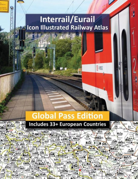
European Info Railway Map is specifically designed for Eurail/Interrail RailPass holders and A4 Letter size full colour quality Atlas covers all 33 European counties included in Global Rail Pass products in addition to Moldova, Albania and mainland European ferry routes heading to Sicily, Corsica and North Africa. Atlas includes 46 pages covering mainland Europe and Northern Africa and 18 pages covering the whole of Switzerland and Austria and border countries of Southern Germany, French Alps, Southern Czech Republic, Slovenia and Northern Italy.
Planning an Interrail/Eurail is always a difficult choice and compromise with an infinite number of possible routes and fabulous locations to visit and explore. Atlas is illustrated with Icons which indicate all major UNESCO sites including significant Roman artefacts, castles, hill top citadels/fortifications, aqueducts/bridges, large statement statues/monuments, spiritual buildings including Cathedrals, Mosques, Monasteries and Abbeys, museums/art galleries, modern/futuristic buildings, attractive and ancient Old World Medieval towns and protected landscapes so you know instantly where you focus your time and which routes best suit your interests.
European Info Railway Map is a completely unique planning tool with sole aim to inform you of where to focus your attention when you plan your Interrail/Eurail Railpass adventure!
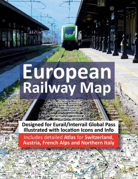