Home
Denver CO Street Map
Barnes and Noble
Loading Inventory...
Denver CO Street Map in Bloomington, MN
Current price: $9.99

Denver CO Street Map in Bloomington, MN
Current price: $9.99
Loading Inventory...
Size: OS
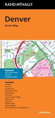
Rand McNally's folded map for Denver is a must-have for anyone traveling in and around this part of Colorado, offering unbeatable accuracy and reliability at a great price. Our trusted cartography shows all Interstate, U.S., state, and county highways, along with clearly indicated parks, points of interest, airports, county boundaries, and streets. The easy-to-use legend and detailed index make for quick and easy location of destinations. You'll see why Rand McNally folded maps have been the trusted standard for years. - Regularly updated. - Clearly labeled Interstate, U.S., state, and county highways. - Indications of parks, points of interest, airports, county boundaries, schools, shopping malls, downtown & vicinity maps. - Detailed & full street index. Coverage Area Communities Included: Arvada, Aurora, Centennial, Commerce City, Englewood, Glendale, Greenwood Village, Lakewood, Littleton, Thornton, Westminster, Wheat Ridge plus downtown enlargement.
Rand McNally's folded map for Denver is a must-have for anyone traveling in and around this part of Colorado, offering unbeatable accuracy and reliability at a great price. Our trusted cartography shows all Interstate, U.S., state, and county highways, along with clearly indicated parks, points of interest, airports, county boundaries, and streets. The easy-to-use legend and detailed index make for quick and easy location of destinations. You'll see why Rand McNally folded maps have been the trusted standard for years. - Regularly updated. - Clearly labeled Interstate, U.S., state, and county highways. - Indications of parks, points of interest, airports, county boundaries, schools, shopping malls, downtown & vicinity maps. - Detailed & full street index. Coverage Area Communities Included: Arvada, Aurora, Centennial, Commerce City, Englewood, Glendale, Greenwood Village, Lakewood, Littleton, Thornton, Westminster, Wheat Ridge plus downtown enlargement.