Home
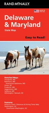
Delaware/Maryland Easy to Read State Map
Barnes and Noble
Loading Inventory...
Delaware/Maryland Easy to Read State Map in Bloomington, MN
Current price: $9.99

Delaware/Maryland Easy to Read State Map in Bloomington, MN
Current price: $9.99
Loading Inventory...
Size: OS
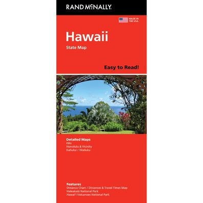
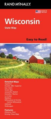
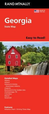
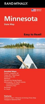
Rand McNally's folded map for Delaware and Maryland is a must-have for anyone traveling in or through these states, offering unbeatable accuracy and reliability at a great price. Our trusted cartography shows all Interstate, U.S., state, and county highways and much more. - Points of interest. - State Park chart. - State mileage chart. - Driving times map. - Visitor center information. - Climate data. - State facts & symbols. - Easy-to-use legend. - Detailed indexed. Coverage Area Detailed maps include: Dover, DE; Wilmington, DE; Annapolis, MD; Baltimore, MD; Baltimore Downtown, MD; Frederick, MD; Hagerstown, MD; Washington, D.C., Washington, D.C. Downtown. Product Details: Measures 9.0" x 4.125" and folds out to 25.5" x 36.75".
Rand McNally's folded map for Delaware and Maryland is a must-have for anyone traveling in or through these states, offering unbeatable accuracy and reliability at a great price. Our trusted cartography shows all Interstate, U.S., state, and county highways and much more. - Points of interest. - State Park chart. - State mileage chart. - Driving times map. - Visitor center information. - Climate data. - State facts & symbols. - Easy-to-use legend. - Detailed indexed. Coverage Area Detailed maps include: Dover, DE; Wilmington, DE; Annapolis, MD; Baltimore, MD; Baltimore Downtown, MD; Frederick, MD; Hagerstown, MD; Washington, D.C., Washington, D.C. Downtown. Product Details: Measures 9.0" x 4.125" and folds out to 25.5" x 36.75".