


Home
Cartographic Expeditions and Visual Culture the Nineteenth-Century Americas
Barnes and Noble
Loading Inventory...
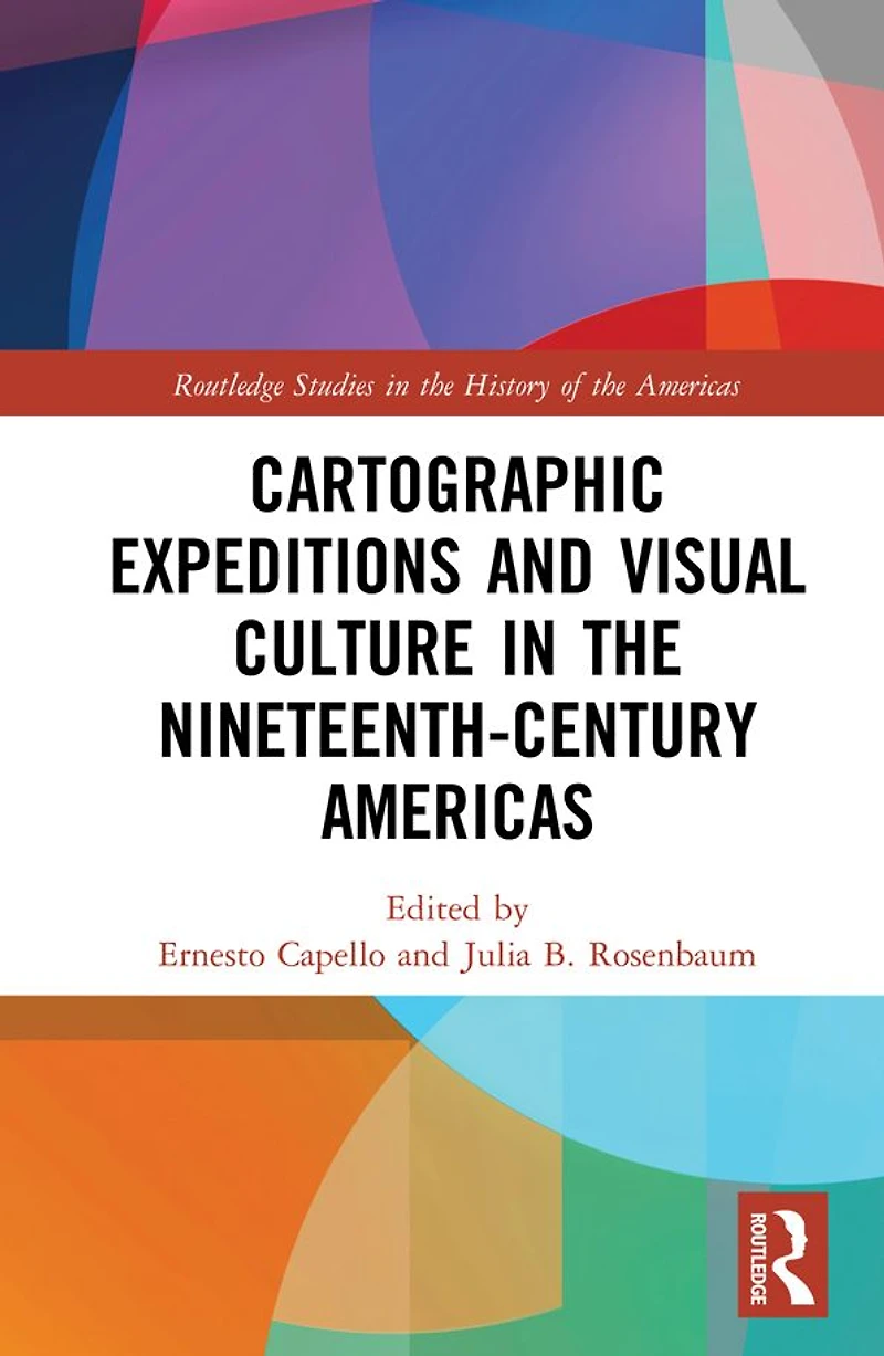
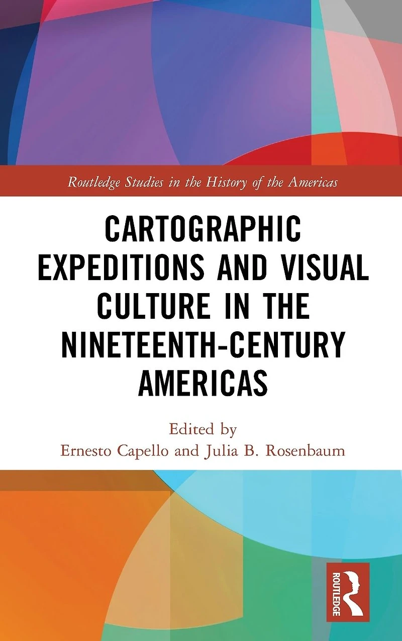
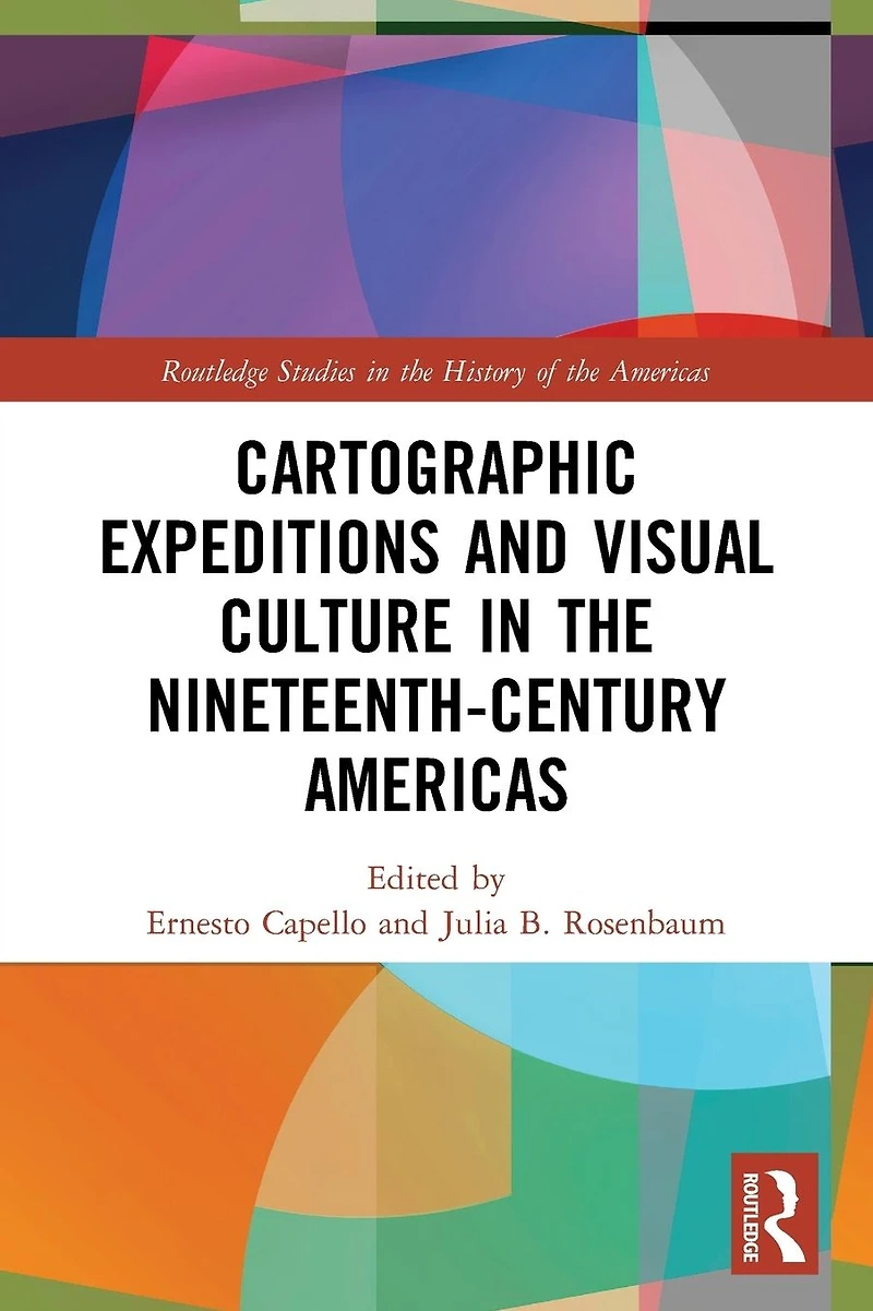
Cartographic Expeditions and Visual Culture the Nineteenth-Century Americas in Bloomington, MN
By Barnes & Noble
Current price: $64.99

Cartographic Expeditions and Visual Culture the Nineteenth-Century Americas in Bloomington, MN
Current price: $64.99
Loading Inventory...
Size: EBook
During the nineteenth century, gridding, graphing, and surveying proliferated as never before as nations and empires expanded into hitherto "unknown" territories. Though nominally geared toward justifying territorial claims and collecting scientific data, expeditions also produced vast troves of visual and artistic material. This book considers the explosion of expeditionary mapping and its links to visual culture across the Americas, arguing that acts of measurement are also aesthetic acts. Such visual interventions intersect with new technologies, with sociopolitical power and conflict, and with shifting public tastes and consumption practices. Several key questions shape this examination: What kinds of nineteenth-century visual practices and technologies of seeing do these materials engage? How does scientific knowledge get translated into the visual and disseminated to the public? What are the commonalities and distinctions in mapping strategies between North and South America? How does the constitution of expeditionary lines reorder space and the natural landscape itself? The volume represents the first transnational and hemispheric analysis of nineteenth-century cartographic aesthetics, and features the multi-disciplinary perspective of historians, geographers, and art historians.
During the nineteenth century, gridding, graphing, and surveying proliferated as never before as nations and empires expanded into hitherto "unknown" territories. Though nominally geared toward justifying territorial claims and collecting scientific data, expeditions also produced vast troves of visual and artistic material. This book considers the explosion of expeditionary mapping and its links to visual culture across the Americas, arguing that acts of measurement are also aesthetic acts. Such visual interventions intersect with new technologies, with sociopolitical power and conflict, and with shifting public tastes and consumption practices. Several key questions shape this examination: What kinds of nineteenth-century visual practices and technologies of seeing do these materials engage? How does scientific knowledge get translated into the visual and disseminated to the public? What are the commonalities and distinctions in mapping strategies between North and South America? How does the constitution of expeditionary lines reorder space and the natural landscape itself? The volume represents the first transnational and hemispheric analysis of nineteenth-century cartographic aesthetics, and features the multi-disciplinary perspective of historians, geographers, and art historians.
Shop Similar Products














Find at Mall of America® in Bloomington, MN
Visit at Mall of America® in Bloomington, MN