Home
Vegetation Classification and Mapping at Weir Farm National Historic Site, Connecticut
Barnes and Noble
Loading Inventory...
Vegetation Classification and Mapping at Weir Farm National Historic Site, Connecticut in Bloomington, MN
Current price: $19.99
Vegetation Classification and Mapping at Weir Farm National Historic Site, Connecticut in Bloomington, MN
Current price: $19.99
Loading Inventory...
Size: OS
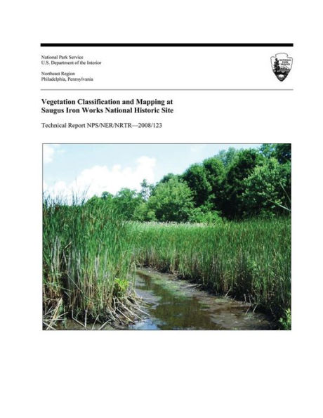
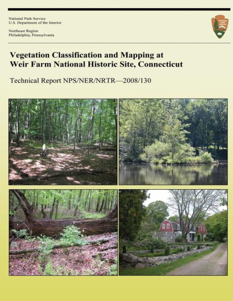
Vegetation classification and mapping was conducted at Weir Farm National Historic Site during the fall of 2003 and the summers of 2004 and 2005, creating a current digital geospatial vegetation database for the park. There are nine natural vegetation types that occur in the park; four upland forest types, one upland non-vascular type, two forested wetland types, and two wetland shrub thicket types that reflected the soil moisture conditions of the site. In addition, four anthropogenic vegetation types occurred; one successional forest and three non-forested types (two in mowed upland fields, and one herbaceous wetland seep). Each of these is described in detail in this report.
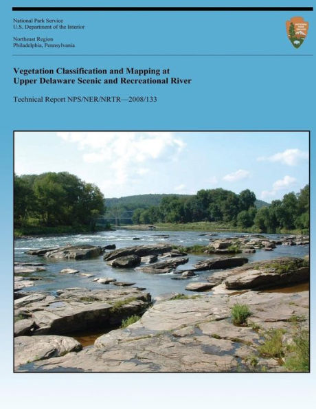
Vegetation classification and mapping was conducted at Weir Farm National Historic Site during the fall of 2003 and the summers of 2004 and 2005, creating a current digital geospatial vegetation database for the park. There are nine natural vegetation types that occur in the park; four upland forest types, one upland non-vascular type, two forested wetland types, and two wetland shrub thicket types that reflected the soil moisture conditions of the site. In addition, four anthropogenic vegetation types occurred; one successional forest and three non-forested types (two in mowed upland fields, and one herbaceous wetland seep). Each of these is described in detail in this report.