Home
Vegetation Classification and Mapping at Thomas Stone National Historic Site, Maryland
Vegetation Classification and Mapping at Thomas Stone National Historic Site, Maryland
Current price: $18.50
Loading Inventory...
Size: OS
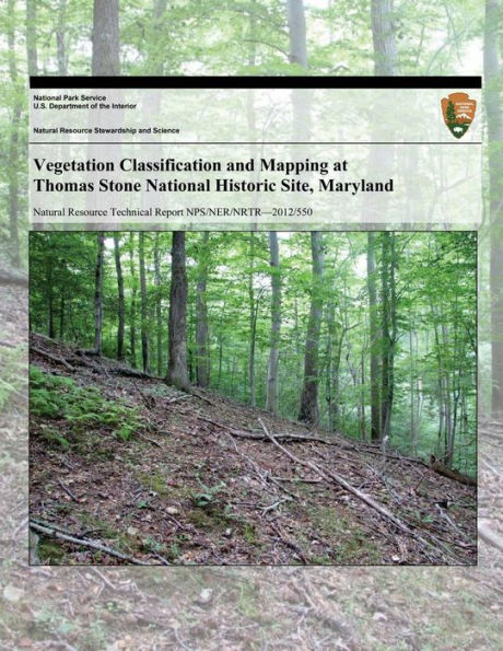
Vegetation classification and mapping of Thomas Stone National Historic Site follows the guidelines developed for the U.S. National Vegetation Classification (USNVC). An initial site visit was conducted to observe and record the range of compositional and environmental variation within the park. These data were then used to identify representative stands where twenty-three vegetation plots were sampled. Vegetation plots included quantitative and qualitative data on vegetation composition and structure as well as environmental characteristics. Plot data collected at Thomas Stone National Historic Site were added to a larger data set collected at nearby National Park System units of the National Capital Region and analyzed using an array of multivariate techniques to produce the vegetation classification.