Home
Using of GIS and Remote Sensing data for identification the phenomena


Using of GIS and Remote Sensing data for identification the phenomena
Current price: $38.77
Loading Inventory...
Size: OS
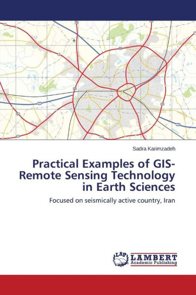
-In the first part of the book, modeling is done by index overlay method for identification of hydrothermal deposits in the Ramand region (Iran). In this study, using index overlay method and integration mechanism of spatial data, prognostic map provided from the status of mineralization potential related to magmatic-hydrothermal mineralization. Thus, traces of alteration and mineralization in Ramand region introduced with emphasis on magmatic-hydrothermal mineral deposits in form of prognostic map. -In the second part of the book, aerosols are examined in a specific area. From environmental standpoint, have priority the investigation of hazards due to aerosols distribution and prediction the movement mechanism of them and will be studied with an emphasis on the Middle East region. The main purpose of this study is introduction the new method based on remote sensing results and analysis of fractal statistics until in addition to investigation the origin of aerosols, make survey the movement mechanism and pattern of their distribution in large areas of North Africa and the Middle East.
