Home
Use of a Two-Dimensional Hydrodynamic Model to Evaluate Extreme Flooding and Transport of Dissolved Solids through Devils Lake and Stump Lake, North Dakota, 2006
Use of a Two-Dimensional Hydrodynamic Model to Evaluate Extreme Flooding and Transport of Dissolved Solids through Devils Lake and Stump Lake, North Dakota, 2006
Current price: $16.99
Loading Inventory...
Size: OS
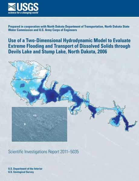
The U.S. Geological Survey in cooperation with the North Dakota Department of Transportation, North Dakota State Water Commission, and U.S. Army Corps of Engineers, developed a two-dimensional hydrodynamic model of Devils Lake and Stump Lake, North Dakota to be used as a hydro-logic tool for evaluating the effects of different inflow scenar-ios on water levels, circulation, and the transport of dissolved solids through the lake. The numerical model, UnTRIM, and data primarily collected during 2006 were used to develop and calibrate the Devils Lake model. Performance of the Devils Lake model was tested using 2009 data. The Devils Lake model was applied to evaluate the effects of an extreme flooding event on water levels and hydrological modifications within the lake on the transport of dissolved solids through Devils Lake and Stump Lake.