Home
The Ridgeway: Planning, Places to Stay, Places to Eat; includes 53 maps large-scale walking maps
Barnes and Noble
Loading Inventory...
The Ridgeway: Planning, Places to Stay, Places to Eat; includes 53 maps large-scale walking maps in Bloomington, MN
Current price: $19.95
The Ridgeway: Planning, Places to Stay, Places to Eat; includes 53 maps large-scale walking maps in Bloomington, MN
Current price: $19.95
Loading Inventory...
Size: OS
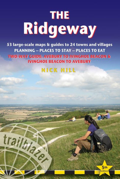
The Ridgeway begins near Avebury and runs 87 miles across the high chalk downs of Wiltshire, into the Thames Valley and on to the Chiltern Hills of Buckinghamshire, finishing at Ivinghoe Beacon near Aylesbury. This is the oldest road in Britain, some of it dating from prehistoric times. It's a popular six-day walk.
· 5 town plans and 53 large-scale walking maps – at just under 1:20,000 – showing route times, places to stay, places to eat, points of interest and much more. These are not general-purpose maps but fully-edited maps drawn by walkers for walkers.
· 8 overview maps and 2 planning maps.
· Itineraries for all walkers – whether walking the route in its entirety over one to two weeks or sampling the highlights on day walks and short breaks
·
· Practical information for all budgets – camping, bunkhouses, hostels, B&Bs, pubs and hotels; Avebury through to Ivinghoe Beacon – where to stay, where to eat, what to see, plus detailed street plans
· Comprehensive public transport information – for all access points on the Ridgeway
· Flora and fauna – four page full color flower guide, plus an illustrated section on local wildlife
· Green hiking – understanding the local environment and minimizing our impact on it
· Downloadable GPS waypoints