Home
Soil-Landform Development of Fold Belt Along East Coast of Bangladesh
Soil-Landform Development of Fold Belt Along East Coast of Bangladesh
Current price: $85.32
Loading Inventory...
Size: OS
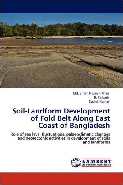
The Jaldi and Maiskhali structures include a part of coastal region of north-south trending Fold Belt of Bangladesh, offers an excellent site for studies of soil-geomorphic relationships of undulating coastal regions. Based on the degree of soil development and luminescence dating of soils eight soil-geomorphic units have been delineated in the area and a four member (I - IV) Morphostratigraphic sequence for the study area has been prepared with Member IV being the oldest. Sea level fluctuated several times with some stillstands during the late Quaternary Period. Eustatic stillstands may have affected the palaeodrainage in the study area, made streams to migrate laterally and to form fluvial terraces of the Mainland Higher Hillocks and Lower Hillocks (Jaldi anticline); and Island Hillock terrace, Piedmont zone and Old Tidal Flats (Maiskhali island). The tentative base level uplift rate from ages of and heights of terraces / surfaces for the present area has been estimated. The Late Quaternary Period in the area was marked by two major phases of palaeoclimate: (a) a subhumid to semiarid phase (40 ka to about 16 ka) and (b) a hot humid to subhumid phase (16 ka to present).