Home
Protocol for Landsat-based Monitoring of Landscape Dynamics in North Coast and Cascades Network Parks: Version 2
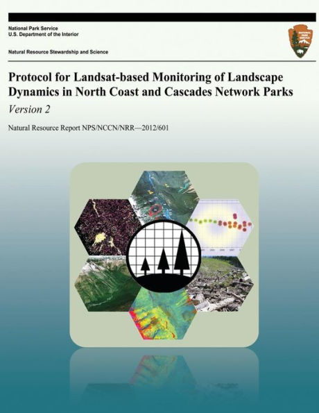
Protocol for Landsat-based Monitoring of Landscape Dynamics in North Coast and Cascades Network Parks: Version 2
Current price: $16.65
Loading Inventory...
Size: OS
Landscape dynamics refers to a large suite of ecological and geomorphological processes occurring across broad spatial scales. As part of Vital Signs Monitoring, the North Coast and Cascades Network (NCCN) of the National Park Service developed a protocol for monitoring landscape dynamics using remote sensing. Protocol implementation involves cooperative work with the Laboratory for Applications of Remote Sensing in Ecology (LARSE) at Oregon State University, leveraging their use of Landsat remotely sensed imagery to detect landscape change. LARSE has developed a set of algorithms called LandTrendr (Landsat-based Detection of Trends in Disturbance and Recovery).