Home
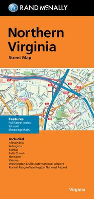
Northern Virginia Street Map
Northern Virginia Street Map in Bloomington, MN
Current price: $8.99
Loading Inventory...
Size: OS
Rand McNally's folded map featuring the streets of Northern Virginia is a must-have for anyone traveling in and around this part of Virginia and Maryland, offering unbeatable accuracy and reliability at a great price. Our trusted cartography shows all Interstate, U.S., state, and county highways, along with many smaller roads and streets, too. You'll see why Rand McNally folded maps have been the trusted standard for years. - Regularly updated, full-color maps. - Clearly labeled Interstate, U.S., state, and county highways. - One-way streets indicated. - Indications of county boundaries, schools, shopping malls, parks, golf courses, hospitals, airports, and points of interest. - Easy-to-use legend. - Detailed street index. - Compact folded size. Coverage Area Communities included: Alexandria, Arlington, Fairfax, Falls Church, Herndon. Product Details: Measures 9.5 x 4 and folds out to 40 x 28.