Home
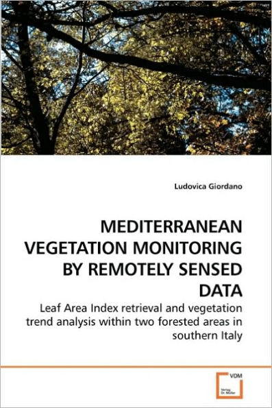
MEDITERRANEAN VEGETATION MONITORING BY REMOTELY SENSED DATA


MEDITERRANEAN VEGETATION MONITORING BY REMOTELY SENSED DATA
Current price: $52.92
Loading Inventory...
Size: OS
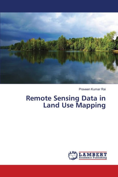
Remote sensing has become a pivotal technology for environmental sciences, providing faster, cost-effective, synoptic, repetitive and consistent data over large areas. In last years great emphasis has been given to the retrieval of specific biophysical vegetation parameters, among which the Leaf Area Index which plays a paramount role within important processes such as canopy radiation interception, evapotranspiration and net photosynthesis, being consequently a key input variable of many climate, hydrological and ecological models. This book point up how remote sensing information can be effectively used for vegetation monitoring presenting all the necessary steps, from satellite images preprocessing to images analysis and results interpretation. Either a spatial investigation on the LAI and a temporal analysis of the green biomass, within two different study areas in the Mediterranean region are illustrated. Graduate students as well as environmental researchers will find this work to provide useful hints and advise on the use of satellite data for vegetation monitoring in Mediterranean areas.

