Home
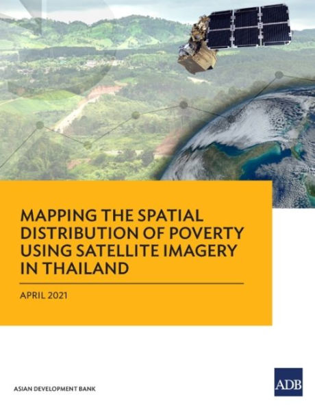
Mapping the Spatial Distribution of Poverty Using Satellite Imagery Thailand
Barnes and Noble
Loading Inventory...
Mapping the Spatial Distribution of Poverty Using Satellite Imagery Thailand in Bloomington, MN
Current price: $25.00

Mapping the Spatial Distribution of Poverty Using Satellite Imagery Thailand in Bloomington, MN
Current price: $25.00
Loading Inventory...
Size: Paperback
This report presents the results of a feasibility study on high-quality poverty statistics in Thailand using satellite imagery, geospatial data, and advanced algorithmic techniques to complement conventional survey methods.
The ""leave no one behind"" principle of the 2030 Agenda for Sustainable Development requires appropriate indicators for different segments of a country's population. This entails detailed, granular data on population groups that extend beyond national trends and averages. ADB collaborated with the National Statistical Office of Thailand and the Word Data Lab for the feasibility study, which aimed to enhance the granularity, cost-effectiveness, and compilation of high-quality poverty statistics in Thailand.
The ""leave no one behind"" principle of the 2030 Agenda for Sustainable Development requires appropriate indicators for different segments of a country's population. This entails detailed, granular data on population groups that extend beyond national trends and averages. ADB collaborated with the National Statistical Office of Thailand and the Word Data Lab for the feasibility study, which aimed to enhance the granularity, cost-effectiveness, and compilation of high-quality poverty statistics in Thailand.
