Home
Integration of GPS And GIS to Study Traffic Congestion
Integration of GPS And GIS to Study Traffic Congestion
Current price: $83.05
Loading Inventory...
Size: OS
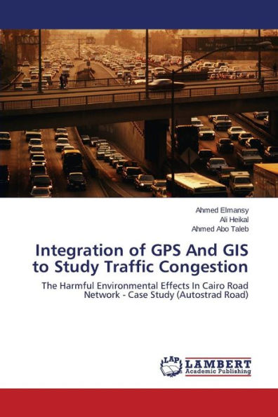
Evaluation of road traffic conditions is a crucial issue worldwide. Recently, GPS and its integration with GIS coming to be better method provide researchers more convenient and accurate way of gathering travel time information. The study presents a procedure to extract traffic data using GPS receivers and GIS technology with advantage of less labor, equipment simplicity, automatic geo-coding, high measurements accuracy and relatively inexpensive. A vehicles emission model was used to calculate CO2 and NOx emission patterns. Data analysis indicated strong positive correlation between travel time and emissions quantity for gasoline and trucks/buses vehicles and no correlation for diesel vehicles was remarked. Calculated CO2 emissions were converted to equivalent amount of fuel to calculate the effect of traffic condition on fuel consumption. Economic assessment asserted that value of saved amount of fuel can be used to make constructions to enhance the traffic conditions and achieve the required speed. It is recommended that this method can be generalized over Greater Cairo roads network to quantify congestion cases and perform economical assessment of proposed solutions.