Home
Image Analysis and Integration in Remote Sensing
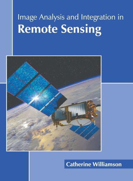
Image Analysis and Integration in Remote Sensing
Current price: $161.00
Loading Inventory...
Size: OS
Remote sensing is the science of obtaining information about objects or areas from a distance, usually from satellites and aircrafts. It has diverse applications in a number of fields including hazard assessment and natural resource management. Remote sensing data plays a crucial role in global environmental analysis and contributes towards economic development. However, there are some challenges in real life applications of remote sensing including object detection, image classification, image correction, image segmentation, and change detection. Research is underway for developing advanced techniques for interpreting and integrating remote sensing images. Statistical computing methods and machine learning techniques such as graphical models, deep learning, kernel machines, and sparse coding are used to analyze remote sensing data. This data can be combined with other layers of information by using GIS. This book provides significant information to help develop a good understanding of remote sensing image analysis and integration. Through it, we attempt to further enlighten the readers about the new concepts in this area of study.