Home
GIS to Support Cost-effective Decisions on Renewable Sources: Applications for low temperature geothermal energy
Barnes and Noble
Loading Inventory...
GIS to Support Cost-effective Decisions on Renewable Sources: Applications for low temperature geothermal energy in Bloomington, MN
Current price: $54.99

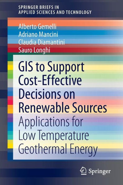
GIS to Support Cost-effective Decisions on Renewable Sources: Applications for low temperature geothermal energy in Bloomington, MN
Current price: $54.99
Loading Inventory...
Size: Paperback
Through the results of a developed case study of information system for low temperature geothermal energy,
GIS to Support Cost-effective Decisions on Renewable Sources
addresses the issue of the use of Geographic Information Systems (GIS) in evaluating cost-effectiveness of renewable resource exploitation on a regional scale. Focusing on the design of a Decision Support System, a process is presented aimed to transform geographic data into knowledge useful for analysis and decision-making on the economic exploitation of geothermal energy. This detailed description includes a literature review and technical issues related to data collection, data mining, decision analysis for the informative system developed for the case study. A multi-disciplinary approach to GIS design is presented which is also an innovative example of fusion of georeferenced data acquired from multiple sources including remote sensing, networks of sensors and socio-economic censuses.
is a useful, practical reference for engineers, managers and researchers involved in the design of GIS, decision support systems, investment planning/strategy in renewable energy and ICT innovation in this field.
