Home
GIS In Slope Failure and Sensitivity
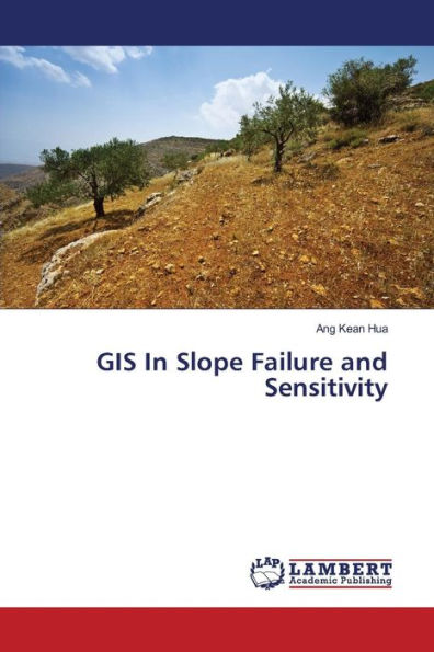
GIS In Slope Failure and Sensitivity
Current price: $59.29
Loading Inventory...
Size: OS
In developing countries and increasingly cramped spaces, many land areas being explored by the developers' at hilly terrain and high altitudes. Slope failure is an issue that should be seriously considered because slope failure and landslides will cause the loss of life and property. The development of information technology has led to the development of Geographic Information System (GIS). Now, GIS is an important tool for developing database and information space. In this study, GIS has been used to study the sensitivity level of risk area according to the slope. There are several methods of GIS analysis was used in the study, namely the analysis of the slope surface in three dimensions (3D) and redundancy analysis (Overlay Analysis). Both analysis was carried out to predict and determine the areas at risk of failure based on three parameters, such as slope steepness, slope development and plant cover.