Home
Forestry Remote Sensing


Forestry Remote Sensing
Current price: $63.72
Loading Inventory...
Size: OS
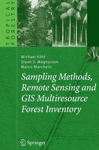
How to manage forest resources and environment effectively? Remote sensing is a solution of invaluable support for this goal. The purpose and expectation of traditional forest inventory is to provide forest resource with reliable information. However, these inventories usually lack fine spatial resolution and even performed terrestrially only. In recent decades, the great progress in remote sensing and GIS has provided considerable opportunities for such forest inventories. Integrating these techniques and terrestrial data as an analysis of multi-source information is therefore of particular value. Estimation of forest structure e.g. stand volume using remote sensing has been broadly investigated both in study and in practice. However, most work was focused on the boreal or temperate forest. Relatively less attention has been devoted to moist tropical regions, and hardly has been made consideration of the forests in Vietnam. Hence, this book aims to share with you applicability of remote sensing in the tropical forest where the almost stand forests with complex structure and tree species diversity haven been degradated by human activities
