Home
Family Maps of Lauderdale County, Alabama, Deluxe Edition
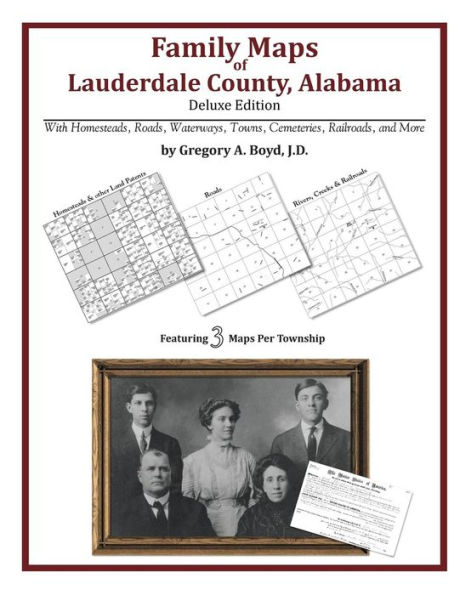
Family Maps of Lauderdale County, Alabama, Deluxe Edition
Current price: $34.95
Loading Inventory...
Size: OS
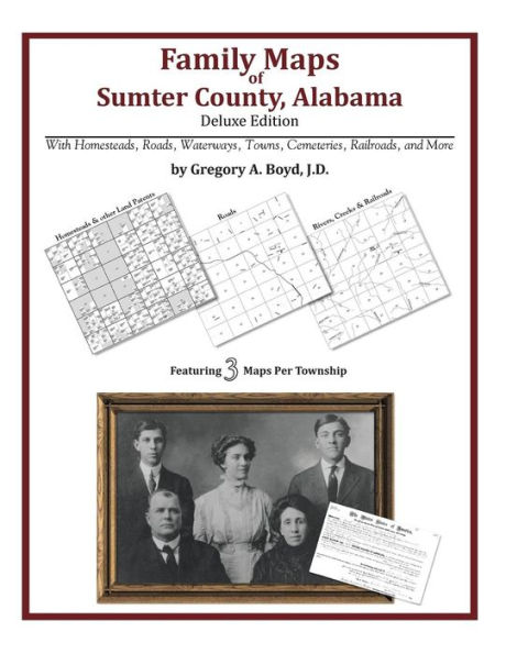
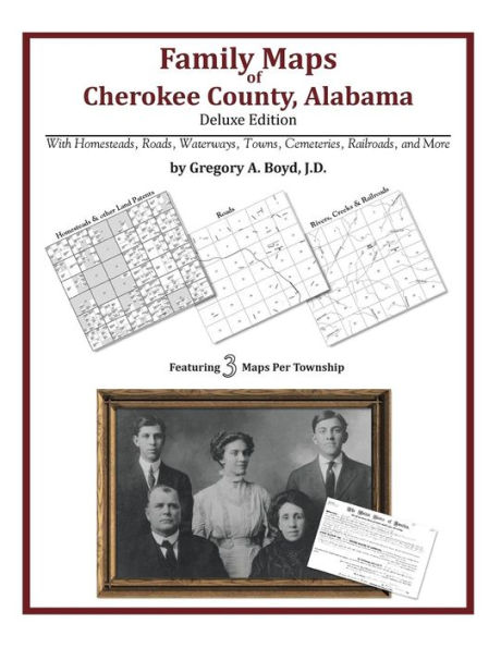
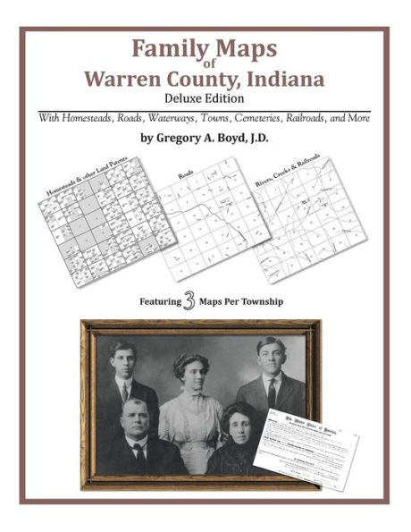
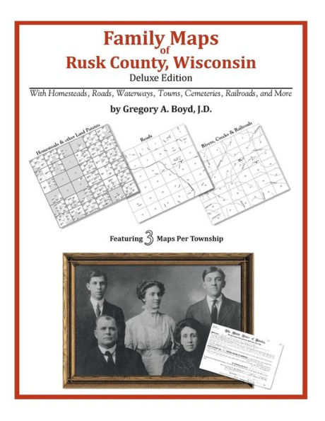
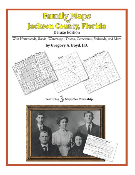
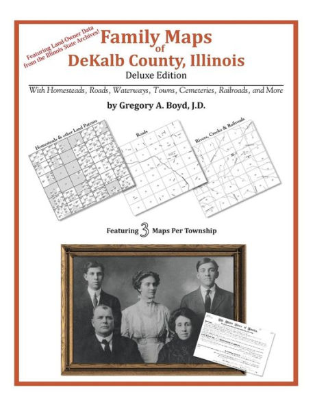
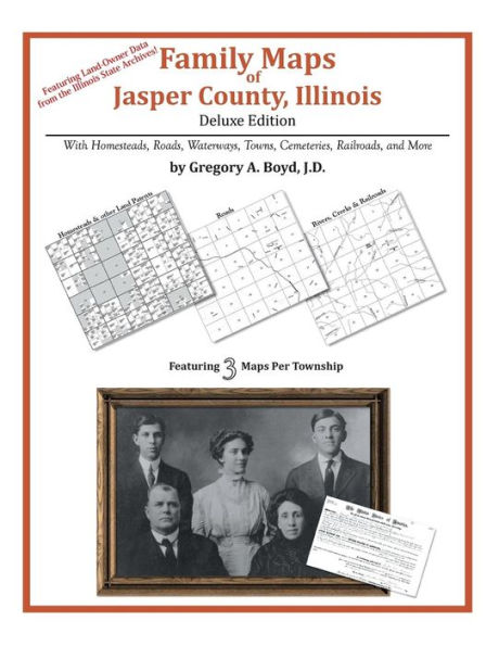
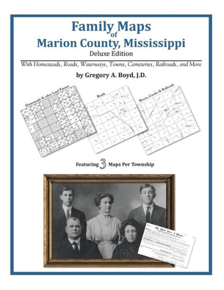
Locating original landowners in maps has never been an easy task-until now. This volume in the Family Maps series contains newly created maps of original landowners (patent maps) in what is now Lauderdale County, Alabama, gleaned from the indexes of the U.S. Bureau of Land Management. But it offers much more than that. For each township in the county, there are two additional maps accompanying the patent map: a road map and a map showing waterways, railroads, and both modern and many historical city-centers and cemeteries.
Included are indexes to help you locate what you are looking for, whether you know a person's name, a last name, a place-name, or a cemetery. The combination of maps and indexes are designed to aid researchers of American history or genealogy to explore frontier neighborhoods, examine family migrations, locate hard-to-find cemeteries and towns, as well as locate land based on legal descriptions found in old documents or deeds.
The patent-maps are essentially plat maps but instead of depicting owners for a particular year, these maps show original landowners, no matter when the transfer from the federal government was completed. Dates of patents typically begin near the time of statehood and run into the early 1900s. 302 pages with 86 total maps
What's Mapped in this book (that you'll not likely find elsewhere) . . .
4529 Parcels of Land
(with original landowner names and patent-dates labeled in the relevant map)
150 Cemeteries plus . . .
Roads, and existing Rivers, Creeks, Streams, Railroads, and Small-towns (including some historical), etc.
What YEARS are these maps for?
Here are the counts for parcels of land mapped, by the decade in which the corresponding land patents were issued:
Decade Parcel-count
1820s 240
1830s 562
1840s 283
1850s 2127
1860s 334
1880s 43
1890s 115
1900s 133
1910s 199
1920s 493
What Cities and Towns are in Lauderdale County, Alabama (and in this book)?
Anderson, Antioch, Aqua Vista, Arkdell, Bailey Springs, Bellemeade, Bethel Grove, Big Oak, Blackburn, Brooks Acres, Canaan, Cedar Grove, Center Hill, Center Star, Central Heights, Cloverdale, Cloverdale Heights, Comer, Confluence, Cypress Heights, Dart, Dells Vista Shores, East Florence, East Killen, Elgin, Emerald Shores, Fairview, Ferry Shores, Florence, Forest Hills, Glen Oaks, Grassy, Gravelly Springs, Green Hill, Greenbrier, Hickory Hills, Hideaway Hills, Hines, Holloway, Houstontown, Indian Springs, Jacksonburg, Johnson Crossroads, Keys Chapel (historical), Killen, Kimbrough Crossroads, Kingtown, Lake Coves, Lakeside Acres, Lakeside Highlands, Lauderdale Beach, Lexington, Lock Six, Lock Three, Lovelace Crossroads, Mansion View, Mars Hill, McGee Town, Mitchelltown, Mount Olive, Murphy Cross Roads, New Hope, North Florence, Northwood Hills, Oakland, Oliver, Parker Landing, Parkertown, Petersville, Pine Haven Shores, Pinedale Acres, Poplar Springs Branch, Powell, Pruitton, Rhodesville, Rivermont, Roberson Beach, Rogersville, Romine, Rose Park, Saint Florian, Sharps Mill, Sherwood Forest, Shoals Acres, Smithsonia, Springfield, Stewartville, Sullivan Crossroads, Sweet Gum, The Cedars, Thornton, Thorntontown, Three Forks, Threet, Toonersville, Underwood, Upper Green Hill, Waterloo, Weeden Heights, Whitehead, Wilson, Woodland, Woodland Landing (historical), Woodlawn, Wright, Wrights Landing, Zip City