Home
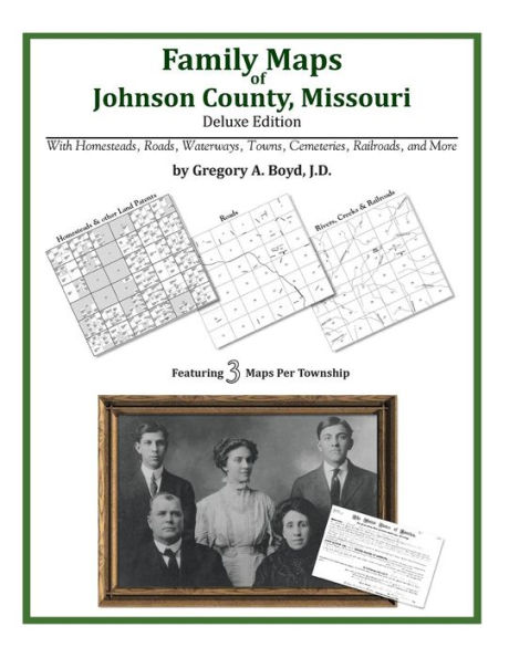
Family Maps of Johnson County, Illinois
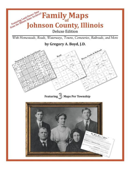
Family Maps of Johnson County, Illinois
Current price: $28.95
Loading Inventory...
Size: OS
192 pages with 38 total maps
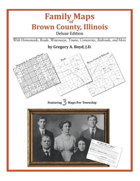
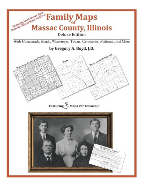
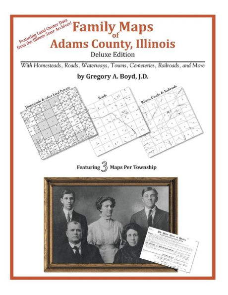
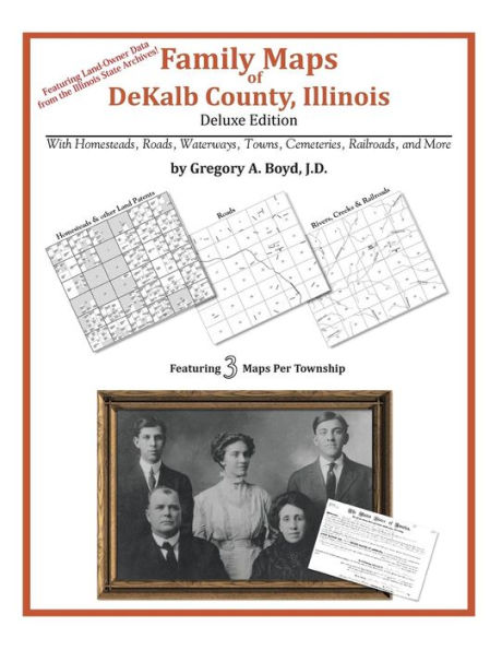
Locating original landowners in maps has never been an easy task-until now. This volume in the Family Maps series contains newly created maps of original landowners (patent maps) in what is now Johnson County, Illinois, gleaned from the indexes of the Illinois State Archives. But it offers much more than that. For each township in the county, there are two additional maps accompanying the patent map: a road map and a map showing waterways, railroads, and both modern and many historical city-centers and cemeteries.
Included are indexes to help you locate what you are looking for, whether you know a person's name, a last name, a place-name, or a cemetery. The combination of maps and indexes are designed to aid researchers of American history or genealogy to explore frontier neighborhoods, examine family migrations, locate hard-to-find cemeteries and towns, as well as locate land based on legal descriptions found in old documents or deeds.
The patent-maps are essentially plat maps but instead of depicting owners for a particular year, these maps show original landowners, no matter when the transfer from the federal government was completed. Dates of patents typically begin near the time of statehood and run into the early 1900s.
List of Details Found Below . . .
What's Mapped in his book?
What YEARS are these maps for?
What Cities and Towns are in Johnson County, Illinois (and in this book)?
Indexes in this book
Reviews by the Experts . . .
Surnames found in this book
Book Specifications
What's Mapped in this book (that you'll not likely find elsewhere) . . .
3431 Parcels of Land
(with original landowner names and patent-dates labeled in the relevant map)
66 Cemeteries
plus . . .
Roads, and existing Rivers, Creeks, Streams, Railroads, and Small-towns (including some historical), etc.
Back to Top of Description
Here are the counts for parcels of land mapped, by the decade in which the patent applications were made:
Decade Parcel-count
1810s 132
1820s 5
1830s 243
1840s 296
1850s 2752
1860s 66
1870s 26
1880s 86
1890s 48
1900s 18
Belknap, Bender (historical), Bloomfield, Buncombe, Cross Roads (historical), Crossroads, Cypress, Deer Ridge, Eagle Point Bay, Egyptian Hills, Elvira, Flatwoods, Forman, Ganntown, Goreville, Grantsburg, Joppa Junction, New Burnside, Omar, Ozark, Parker, Pharoahs Gardens, Pleasant Grove, Pond, Reevesville, Reynoldsburg, Robinwood, Sandburn, Simpson, Sugar Creek Ranch, Tunnel Hill, Vienna, Wagon Creek Heaven, Wartrace, West Vienna, White Hill