Home
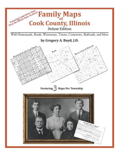
Family Maps of Cook County, Illinois
Family Maps of Cook County, Illinois
Current price: $42.95
Loading Inventory...
Size: OS
512 pages with 107 total maps
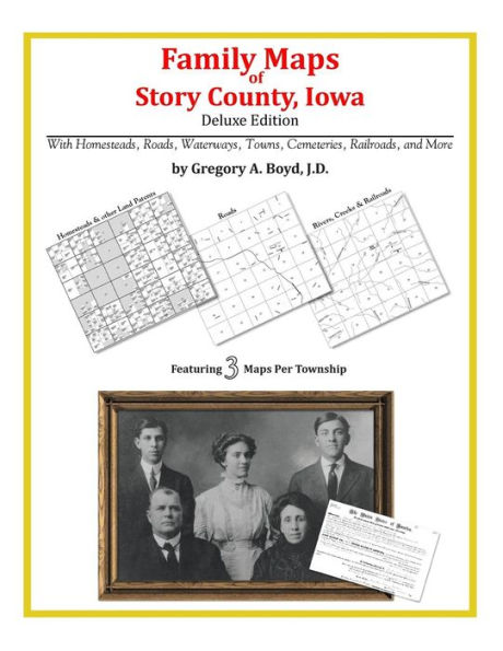
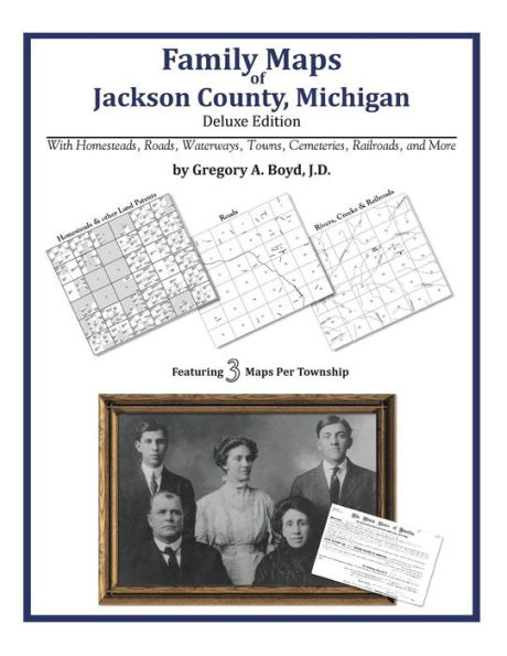
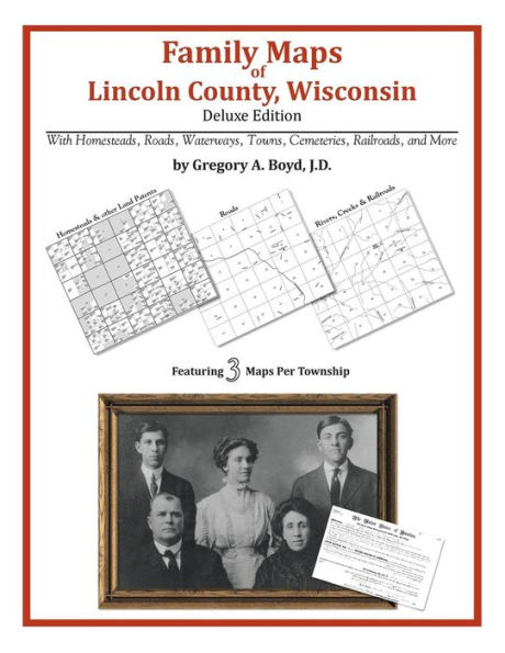
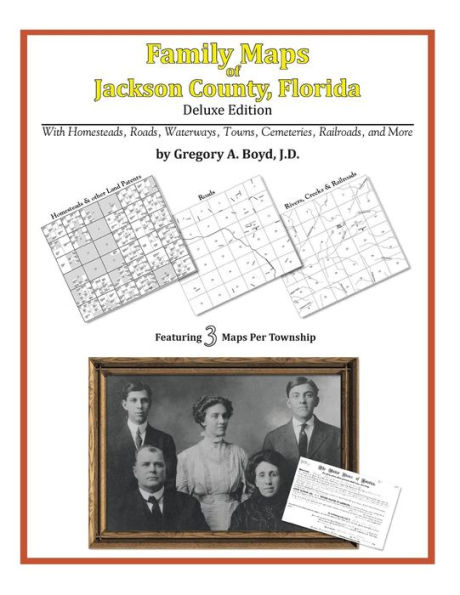
Locating original landowners in maps has never been an easy task-until now. This volume in the Family Maps series contains newly created maps of original landowners (patent maps) in what is now Cook County, Illinois, gleaned from the indexes of the Illinois State Archives. But it offers much more than that. For each township in the county, there are two additional maps accompanying the patent map: a road map and a map showing waterways, railroads, and both modern and many historical city-centers and cemeteries.
Included are indexes to help you locate what you are looking for, whether you know a person's name, a last name, a place-name, or a cemetery. The combination of maps and indexes are designed to aid researchers of American history or genealogy to explore frontier neighborhoods, examine family migrations, locate hard-to-find cemeteries and towns, as well as locate land based on legal descriptions found in old documents or deeds.
The patent-maps are essentially plat maps but instead of depicting owners for a particular year, these maps show original landowners, no matter when the transfer from the federal government was completed. Dates of patents typically begin near the time of statehood and run into the early 1900s.
What's Mapped in this book (that you'll not likely find elsewhere) . . .
6969 Parcels of Land
(with original landowner names and patent-dates labeled in the relevant map)
160 Cemeteries plus . . .
Roads, and existing Rivers, Creeks, Streams, Railroads, and Small-towns (including some historical), etc.
What YEARS are these maps for?
Here are the counts for parcels of land mapped, by the decade in which the patent applications were made:
Decade Parcel-count
1800s 1
1810s 1
1830s 2275
1840s 4609
1850s 2471
1860s 356
1870s 122
1880s 6
1920s 1
What Cities and Towns are in Cook County, Illinois (and in this book)?
Alsip, Arlington Heights, Bedford Park, Bellwood, Berkeley, Berwyn, Blue Island, Bridgeview, Broadview, Brookfield, Burbank, Calumet City, Chicago, Chicago Heights, Chicago Ridge, Cicero, Country Club Hills, Des Plaines, Dolton, Elk Grove Village, Elmwood Park, Evanston, Evergreen Park, Flossmoor, Forest Park, Franklin Park, Glencoe, Glenview, Glenwood, Golf, Harvey, Harwood Heights, Hazel Crest, Hickory Hills, Hillside, Hines, Hoffman Estates, Hometown, Homewood, Irondale (historical), Justice, Kenilworth, Kensington, La Grange, La Grange Park, Lansing, Lemont, Lincoln Square (historical), Lincolnwood, Lyons, Markham, Matteson, Maywood, McCormick Place, Melrose Park, Midlothian, Morton Grove, Mount Prospect, Niles, Northbrook, Oak Forest, Oak Lawn, Oak Park, Olympia Fields, Orland Park, Palatine, Palos Heights, Palos Hills, Palos Park, Park Forest, Park Ridge, Posen, Prospect Heights, Richton Park, River Forest, River Grove, Riverdale, Riverside, Robbins, Rolling Meadows, Schaumburg, Schiller Park, Skokie, South Holland, Steger, Stone Park, Streamwood, Summit, Techny (historical), Thornton, Tinley Park, Westchester, Western Springs, Wheeling, Willow Springs, Wilmette, Winnetka, Worth