Home
Family Maps of Clayton County, Iowa
Family Maps of Clayton County, Iowa
Current price: $33.95
Loading Inventory...
Size: OS
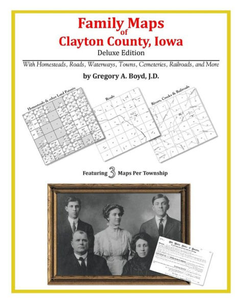
292 pages with 77 total maps
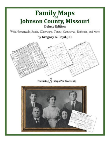
Locating original landowners in maps has never been an easy task-until now. This volume in the Family Maps series contains newly created maps of original landowners (patent maps) in what is now Clayton County, Iowa, gleaned from the indexes of the U.S. Bureau of Land Management. But it offers much more than that. For each township in the county, there are two additional maps accompanying the patent map: a road map and a map showing waterways, railroads, and both modern and many historical city-centers and cemeteries.
Included are indexes to help you locate what you are looking for, whether you know a person's name, a last name, a place-name, or a cemetery. The combination of maps and indexes are designed to aid researchers of American history or genealogy to explore frontier neighborhoods, examine family migrations, locate hard-to-find cemeteries and towns, as well as locate land based on legal descriptions found in old documents or deeds.
The patent-maps are essentially plat maps but instead of depicting owners for a particular year, these maps show original landowners, no matter when the transfer from the federal government was completed. Dates of patents typically begin near the time of statehood and run into the early 1900s.
What's Mapped in this book (that you'll not likely find elsewhere) . . .
3578 Parcels of Land
(with original landowner names and patent-dates labeled in the relevant map)
124 Cemeteries plus . . .
Roads, and existing Rivers, Creeks, Streams, Railroads, and Small-towns (including some historical), etc.
What YEARS are these maps for?
Here are the counts for parcels of land mapped, by the decade in which the corresponding land patents were issued:
Decade Parcel-count
1840s 825
1850s 2610
1860s 70
1870s 12
1880s 4
1890s 6
1900s 7
1910s 8
1930s 33
1940s 4
1960s 2
What Cities and Towns are in Clayton County, Iowa (and in this book)?
Beulah, Ceres, Clayton, Clayton Center, Communia, Eckards, Edgewood, Elkader, Elkport, Fairview, Farmersburg, Froelich, Garber, Garnavillo, Giard, Giard Station (historical), Gunder, Guttenberg, Hardin, Highland, Littleport, Luana, Marquette, McGregor, McGregor Heights, Mederville, Millville, Monona, Motor, North Buena Vista, Osborne, Osterdock, Ridley, Saint Olaf, Saint Sebald, Snefs, Strawberry Point, Thomasville, Turkey River, Updegraff, Valdora (historical), Volga, Watson, West Yards, Wood