Home
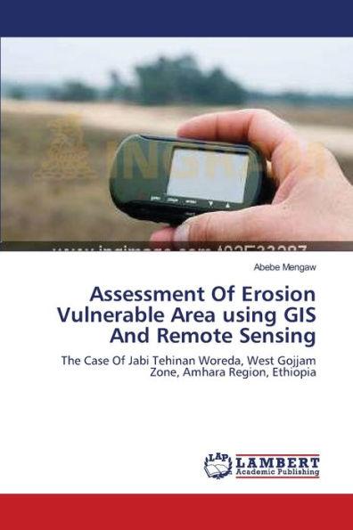
Assessment Of Erosion Vulnerable Area using GIS And Remote Sensing


Assessment Of Erosion Vulnerable Area using GIS And Remote Sensing
Current price: $52.92
Loading Inventory...
Size: OS
Soil degradation in the form of soil erosion is a serious and continuous environmental problem in different part of the world. Uncontrolled land use, deforestation, land over cultivation, overgrazing and exploitation of biomass for firewood, construction and other household uses due to increasing population ultimately leads to severe soil erosion. This study had integrated GIS, RS and MCE models to assess and map erosion vulnerable areas and RUSLE model to quantify an estimated soil loss in Jabi Tehinan Woreda. Slope gradient, soil type, LULC, rainfall and drainage pattern were used as input model parameters/variables. The data had been collected and analyzed from different land sat imageries, SRTM data, topomaps and point interpolations of primary data. Finally the aggregated effects of all parameters had been analyzed and priority rating of erosion vulnerable area was calculated using weighted overlay techniques.
