Home
3D Modelling for Geotechnical Investigation


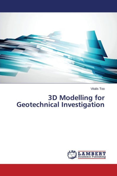
3D Modelling for Geotechnical Investigation
Current price: $38.77
Loading Inventory...
Size: OS
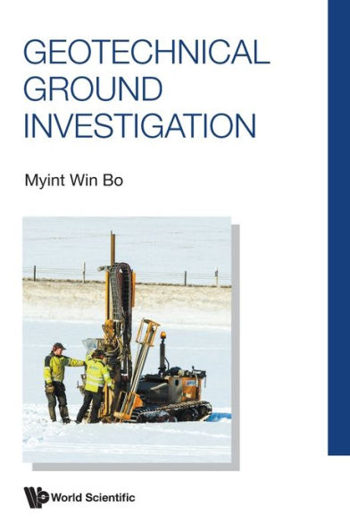
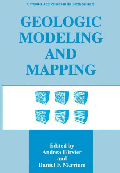
In order to understand and interpret the soil properties of the site before any design is made, a 3D view is essential. This is because it enhances visualization of geotechnical properties in three dimensions and facilitates interpretation of the underground information. The major problem in geotechnical presentation is uncertainties due to prediction of soil properties in un-sampled areas. Field observations are usually spaced to minimize cost of drilling boreholes at each and every meter, hence; interpolation between these widely-spaced data points is done. In this research, geostatistics with R computing software was used in spatial interpolation of soil properties in un-sampled areas.
